

Methodology for data collection
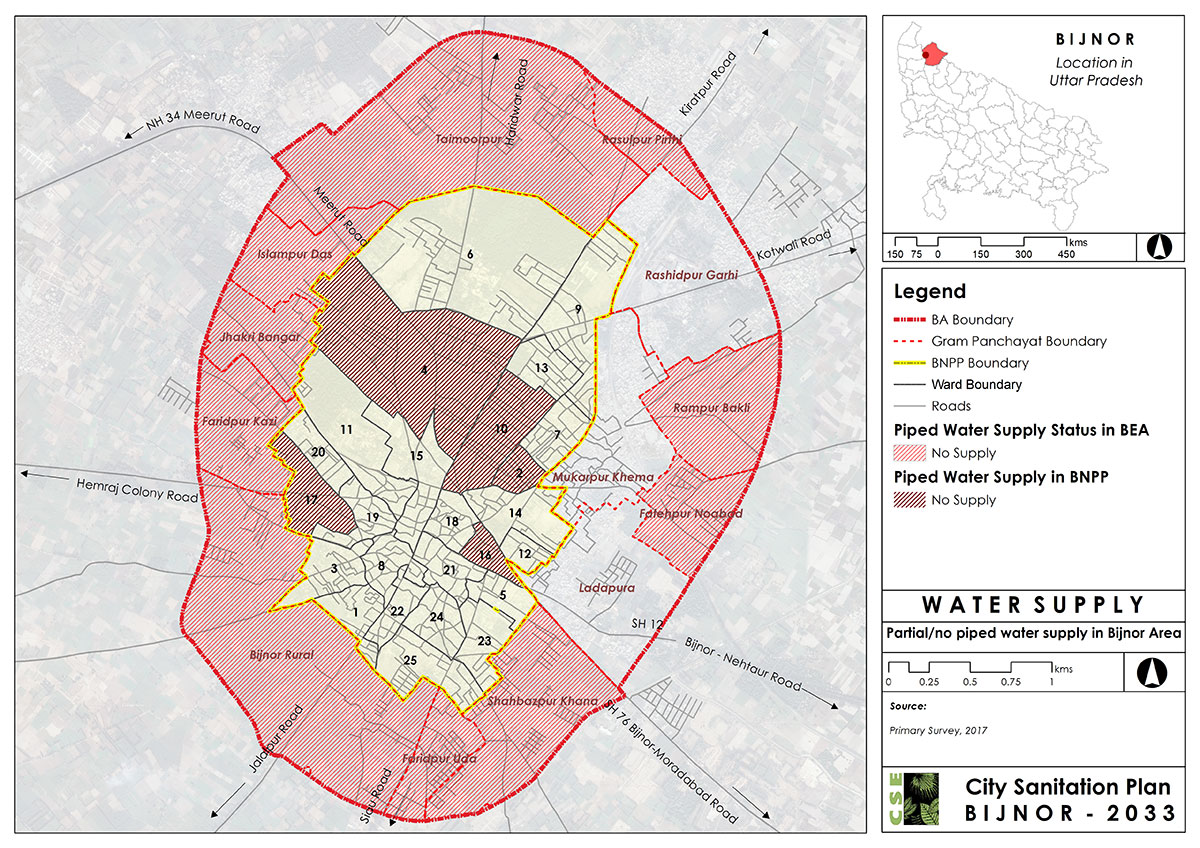
5.2 Spatial Analysis through GIS Maps
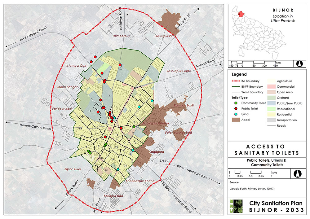
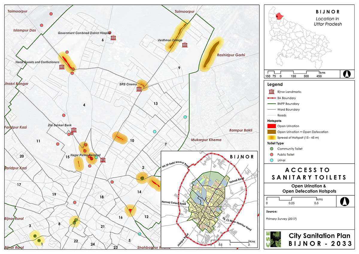
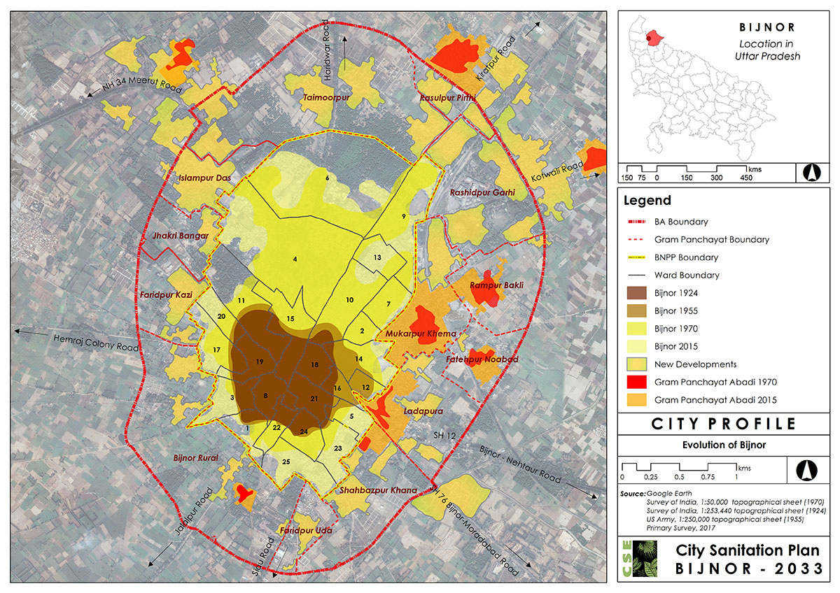
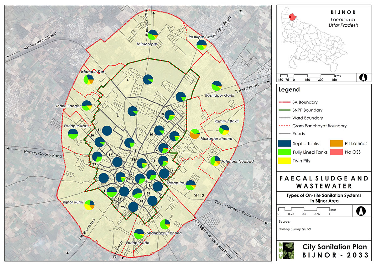
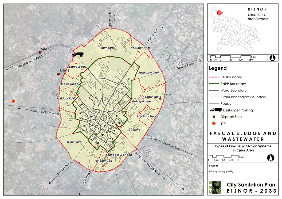
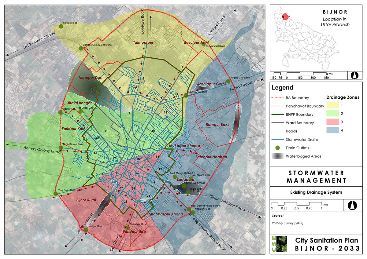
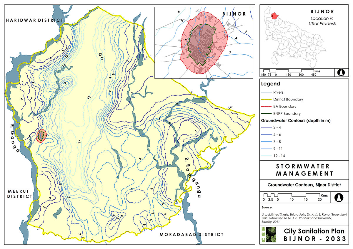
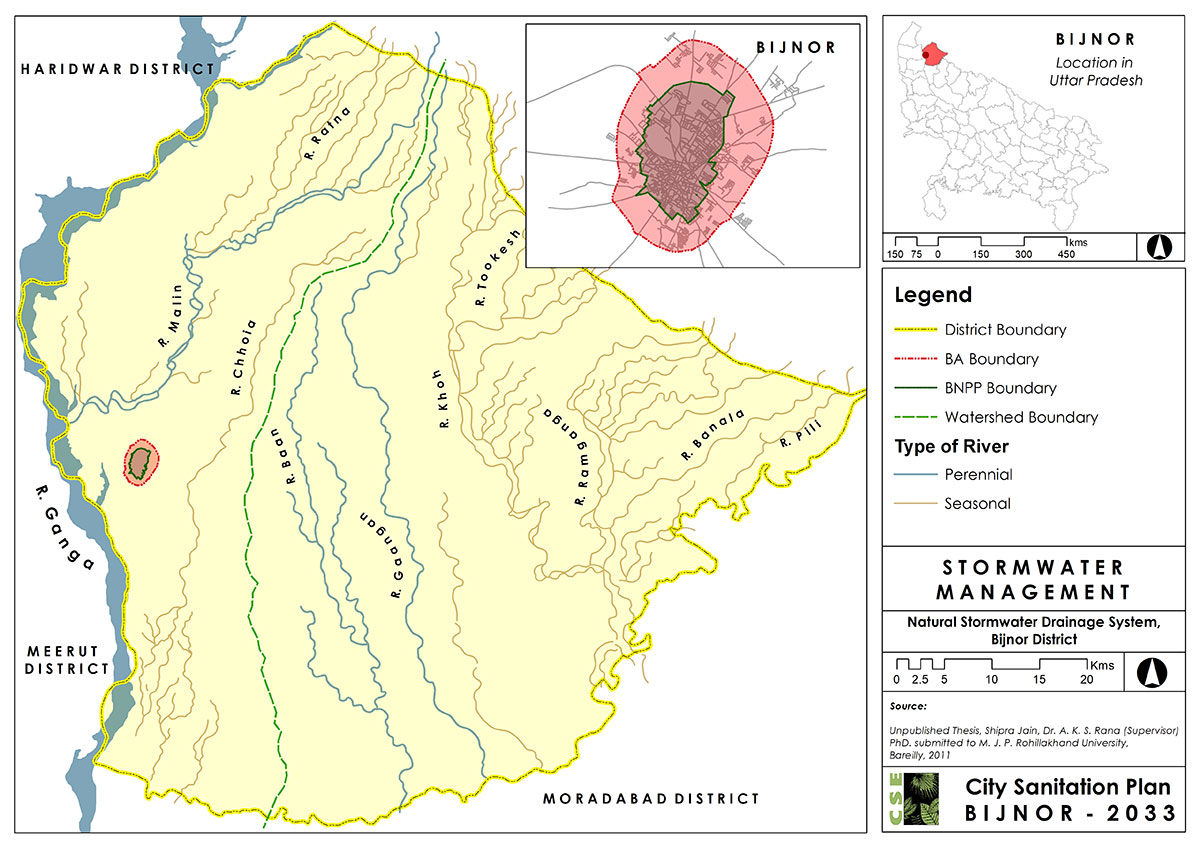
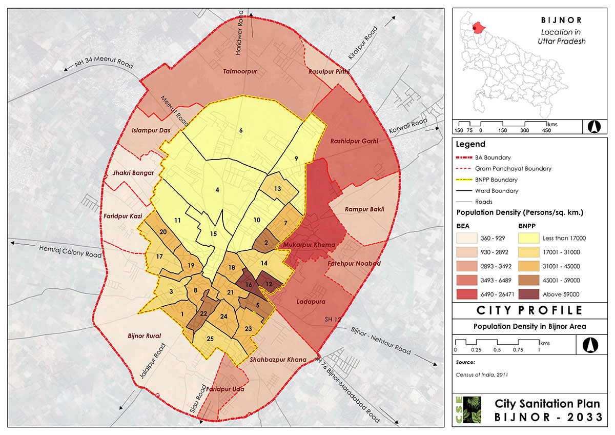
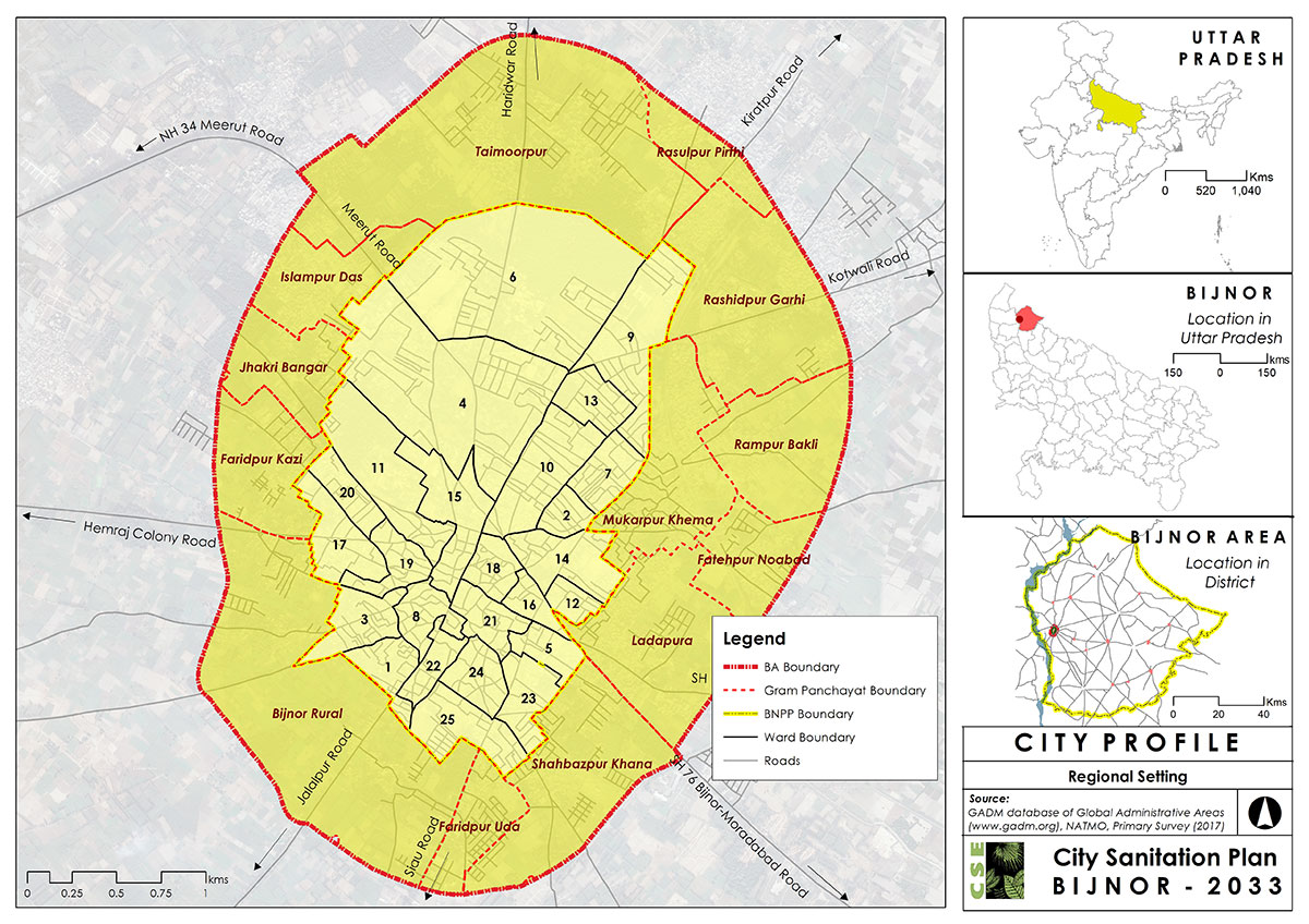
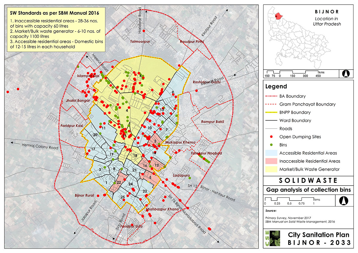
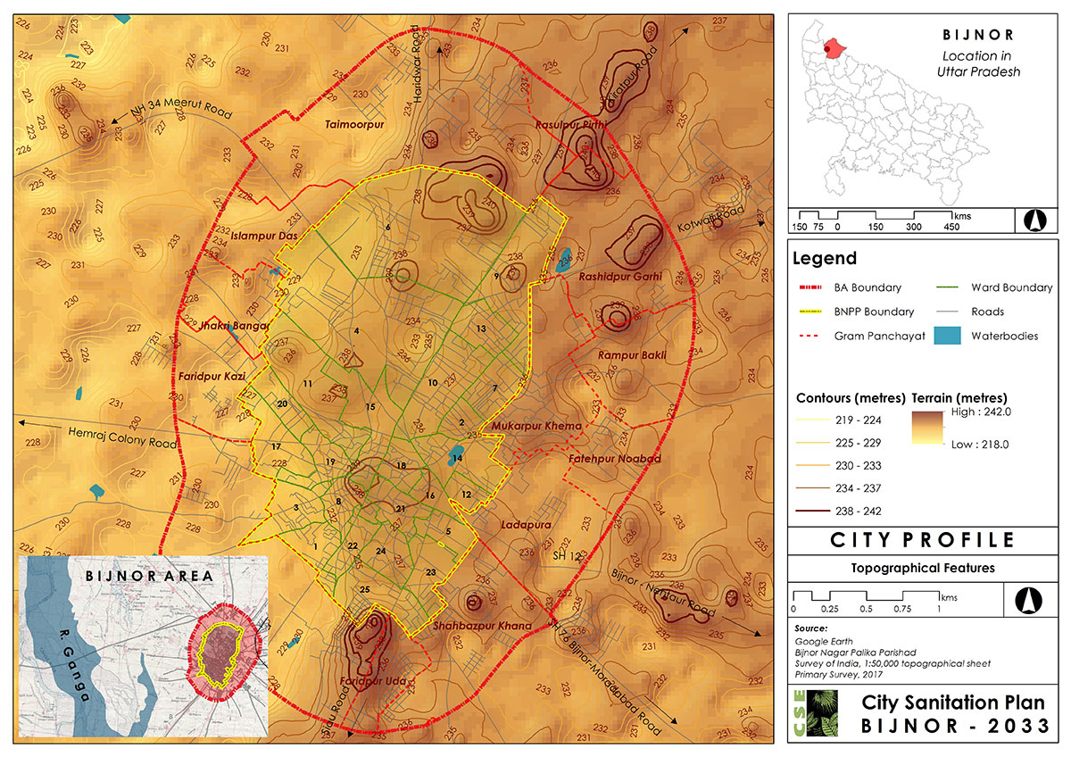
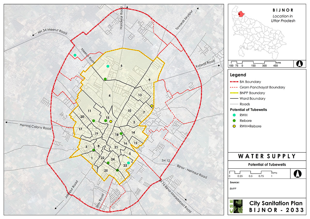
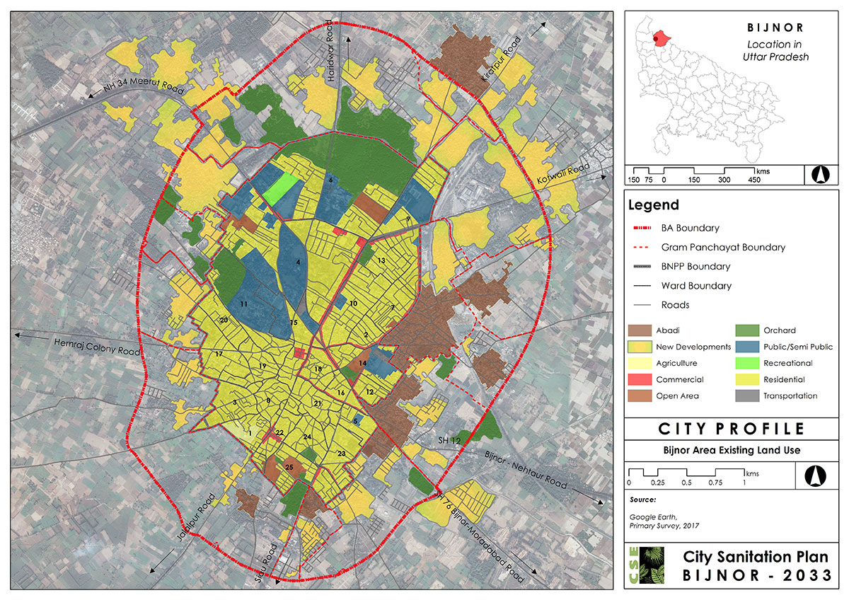
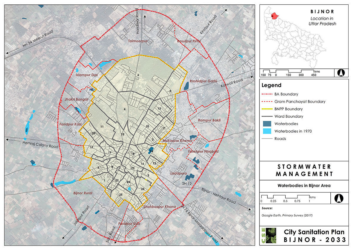
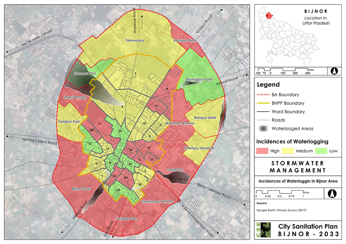
It is essential to view specific key issues or sanitation challenges spatially in a city. Through this visualization, identification of problematic hotspots and opportunities for intervention becomes more apparent.
There are various software which are used for mapping. The most commonly used interface is ARC GIS. This software can be downloaded with the following link: https://www.arcgis.com/features/index.html
Examples of Maps for spatial Analysis:

Copyright © 2018 rawat |
Design: city sanitations