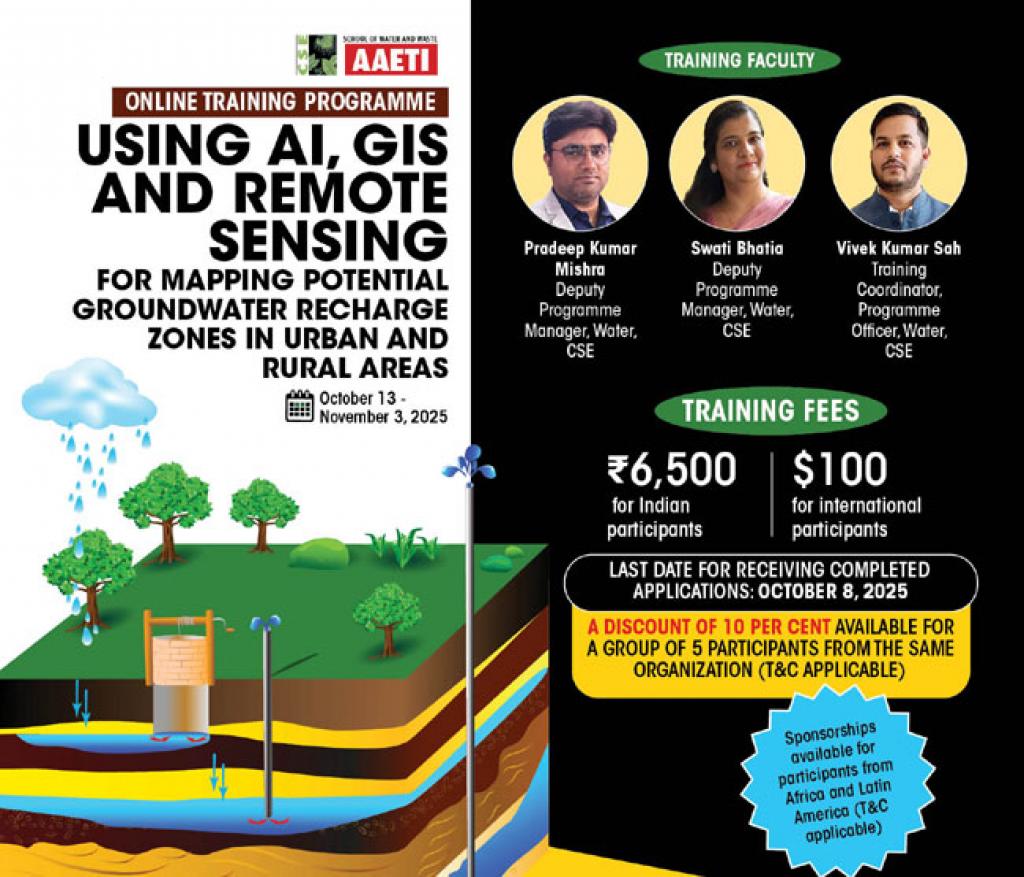
Online Training on Using AI, GIS and Remote Sensing for Mapping Potential Groundwater Recharge Zones in Urban & Rural Area
Urban and rural areas of Global South are extracting groundwater at phenomenal speed and scale. Natural recharge of groundwater is becoming almost impossible due to loss of green areas and waterbodies. Added to this is lesser number of rainy days and variability in annual rainfall due to climate change. Hence, mapping aquifers for pinpointing groundwater reserves and potential recharge areas has become critical.
Data on groundwater storage, quality and movement is often difficult to monitor due to diverse geological formations, soil types, aquifer structure and limited access to areas having difficult terrain or facing conflicts. Today, the use of advanced tools like Remote Sensing and Geographic Information Systems (GIS) offers several advantages over traditional techniques. Satellite-based monitoring for the mapping of aquifers marks a significant advancement, as such modern techniques have high resolutions, optimal spatial and temporal coverage for modelling and monitoring the groundwater reserve and quality. Real-time monitoring facilitated by AI algorithms allows for continuous assessment of groundwater quality, enabling rapid response to contamination risks. AI helps in precise understanding of the groundwater behaviour in the aquifers.
Centre for Science and Environment (CSE) is launching a specialized three week online training programme that will focus on using advanced tools to estimate the reserve, movement, recharge options and monitoring of groundwater.
COURSE HIGHLIGHTS
- Extent and distribution of aquifers in India
- Urbanisation and its impact on aquifers
- Acquisition and processing of groundwater data
- Principles of QGIS, Google Earth Pro and GPS
- Remote sensing and GIS applications in aquifer mapping
- Coordinate systems, map scales and projections
- Basic understanding of Soil and Water Assessment Tool (SWAT) for hydrological modelling and estimating surface runoff and groundwater recharge
- Basic understanding of AI models for sustainable groundwater management
WHAT DO YOU GET AFTER COMPLETING THE PROGRAMME
- Participation certificate
- E-alerts for CSE events, webinars, trainings and workshops
- CSE’s e-bulletins
- Entry into network CSE’s training alumni under the School of Water and Waste
- Priority access to CSE’s publications on water (T&C apply)
Training Coordinator
Vivek Kumar Sah
Programme Officer
Water Programme, CSE,
Email: vivek.sah@cseindia.org
Phone: +91-9708887214/+91-8085443793
Training Director
Subrata Chakraborty
Director
Water Programme, CSE
Email: subrata.chakraborty@cseindia.org
| Flyer | |
 |
|
| Download Flyer | |
| Course Date | |
| October 13-November 3, 2025 | |
| Training Fees | |
|
|
| LAST DATE FOR RECEIVING COMPLETED APPLICATIONS: OCTOBER 8, 2025 | |
| A DISCOUNT OF 10 PER CENT AVAILABLE FOR A GROUP OF 5 PARTICIPANTS FROM THE SAME ORGANIZATION (T&C APPLICABLE) | |
| Sponsorships available for participants from Africa and Latin America (T&C applicable) |
Share this article