Online Training on Using AI, GIS and Remote Sensing for Mapping Potential Groundwater Recharge Zones in Urban & Rural Area
This event is complete
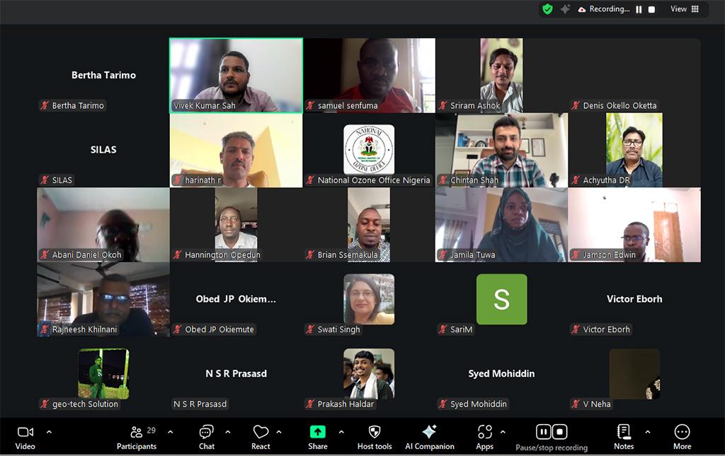
The Centre for Science and Environment (CSE) successfully conducted a two-week online training programme titled “Using AI, GIS, and Remote Sensing for Mapping Potential Groundwater Recharge Zones in Urban and Rural Areas” from October 13 to November 3, 2025. The course aimed to build the capacity of government officials of CSE partner countries to apply modern geospatial and artificial intelligence tools for groundwater management and planning. A total of 64 participants attended the training program.The participants are from the Federal Ministry of Environment, Nigeria, the Ministry of Health, Tanzania and the Ministry of Water and Environment, Uganda. The training also have a healthy gender balance, with 25 per cent female and 75 per cent male participants.
The training programme officially commenced on October 13, 2025, with an introductory session aimed at orienting the participants to the structure and objectives of the course. The course adopted a blended learning approach, comprising live expert-led virtual sessions, interactive discussions, and self-paced online modules delivered through the Moodle learning platform.
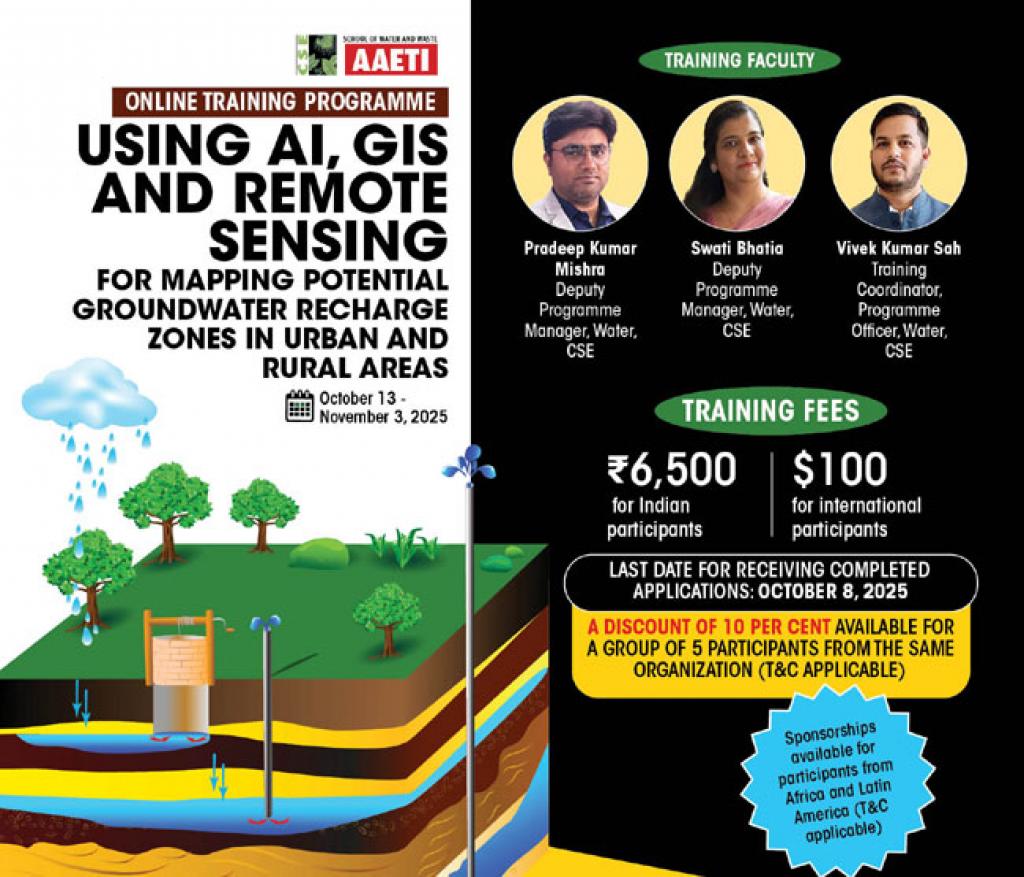
Over the course duration, participants engaged with ten thematic sessions led by experts from CSE, academic institutions, and research organisations. Ms. Swati Bhatia opened the technical sessions with an overview of groundwater challenges and source sustainability, highlighting recharge zone identification and community-based monitoring. Mr. Pradeep Kumar Mishra elaborated on groundwater estimation methodologies, data collection, and the use of GIS and remote sensing. Mr. Vivek Kumar Sah conducted sessions on coordinate systems, field data collection, and QGIS and Google Earth Pro applications for groundwater potential mapping.
Further sessions included Prof. N.S.R. Prasad from NIRDPR, Hyderabad, who demonstrated geoinformatics applications in watershed planning and monitoring, and Dr. S. Kaliraj from the National Centre for Earth Science Studies, who showcased thematic mapping techniques for identifying groundwater zones. Mr. Mishra also discussed region-specific recharge structures, while Dr. Arijit Ghosh from Noida International University introduced AI and machine learning approaches for predicting groundwater potential zones. Dr. Soumyaranjan Sahoo from the National Institute of Hydrology, Roorkee, covered hydrological modeling using the SWAT model, and Dr. Mushtaq Shaikh from GSDA, Maharashtra, concluded the series with a session on AI innovations, challenges, and future prospects in groundwater management.
The programme concluded with an interactive Q&A session providing participants the opportunity to clarify concepts, share experiences, and deepen understanding.
The CSE team also offered additional resources and practical suggestions, making the session a valuable platform for peer learning and real-world application of the training content.
Training Coordinator
Vivek Kumar Sah
Programme Officer
Water Programme, CSE,
Email: vivek.sah@cseindia.org
Phone: +91-9708887214/+91-8085443793
Training Director
Subrata Chakraborty
Director
Water Programme, CSE
Email: subrata.chakraborty@cseindia.org
| Proceeding-AIGIS | |
| Download pdf | |
| Feedback from the participants | |
| I found the course very helpful and informative. It gave me a clear understanding of how water is used and managed, and how recharge can be planned effectively. I also learned how GIS tools can be used to collect and analyze data for better decision-making. The sessions were well-organized and easy to follow, and the experts explained the concepts in a simple and practical way. The interactive discussions and examples helped me understand the real-world applications. I thank the Institute for giving me this great opportunity to learn and build my skills. …Amos Ishaya, Assistant Chief Scientific Officer, Federal Ministry of Environment, Nigeria. |
|
| I would like to express my sincere appreciation to the course coordinator and the entire CSE team for providing me with the opportunity to learn about the latest tools used in groundwater management. As an engineer, I am confident that these tools will greatly support my work, and the training has been highly valuable for enhancing my technical understanding. …Apolot Shalom Mukami, Engineer, Ministry of Water and Environment, Uganda |
|
| The training has been highly insightful and professionally enriching. It has equipped me with advanced skills in applying AI, GIS, and remote sensing tools for effective groundwater assessment and management. The ability to identify and analyse groundwater recharge zones using these modern techniques will greatly strengthen my work and contribute to sustainable water security in both urban and rural areas. I sincerely appreciate the Institute for giving me the opportunity. …Evance D. Simkoko, PEHO, Ministry of Health, Tanzania |
|
| Flyer | |
 |
|
| Download Flyer |
Share this article